
Northern India Landscape AR — Government Infrastructure Planning
AR-Based Spatial Design, BoQ Generation & Smart Security Planning Platform
Year
2024
Category
XR
Overview
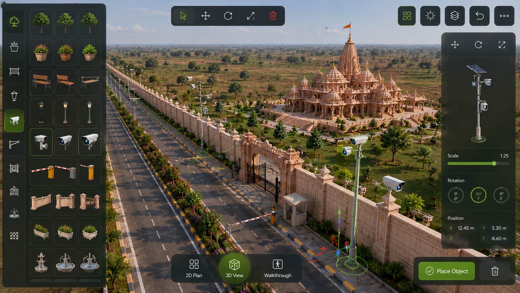
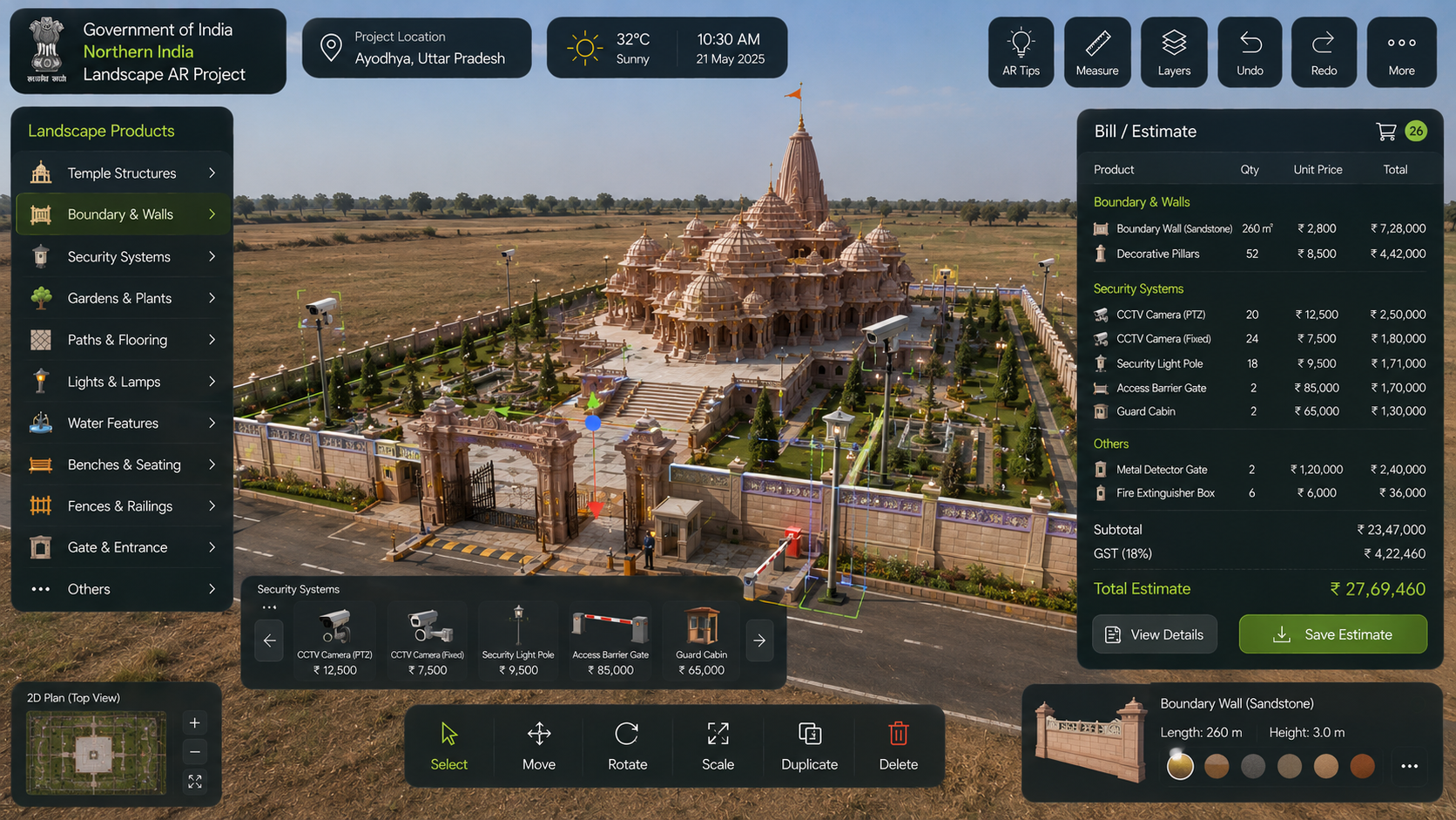
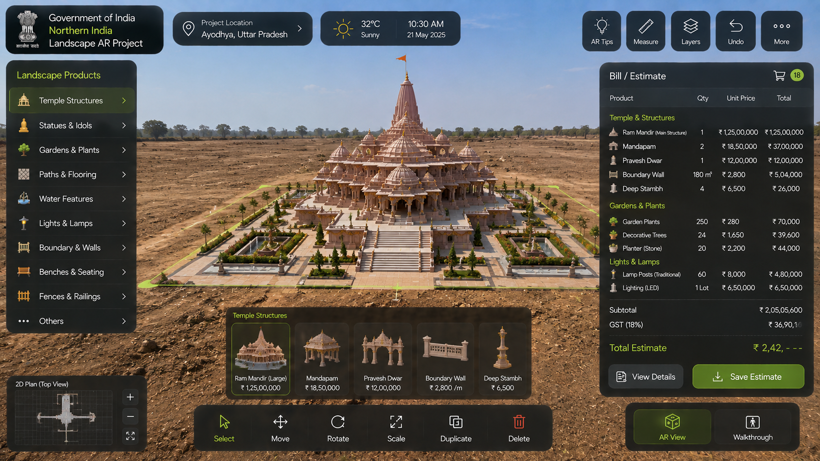
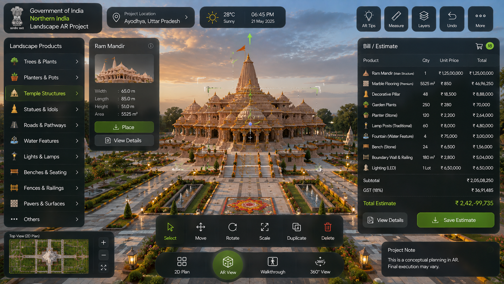
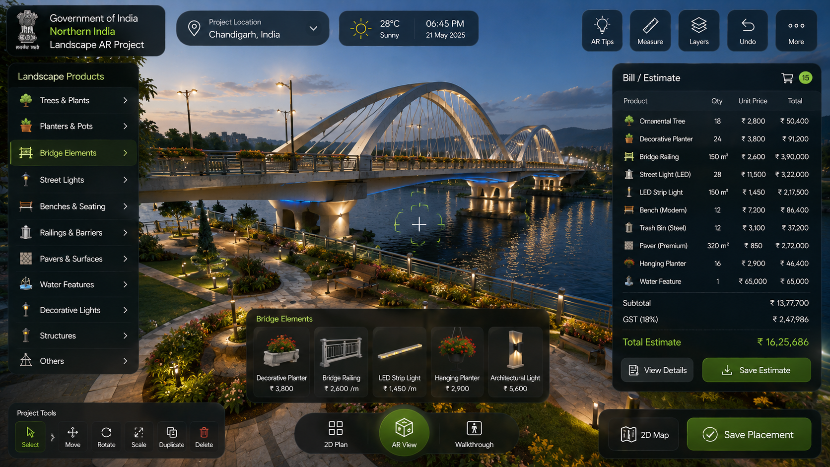
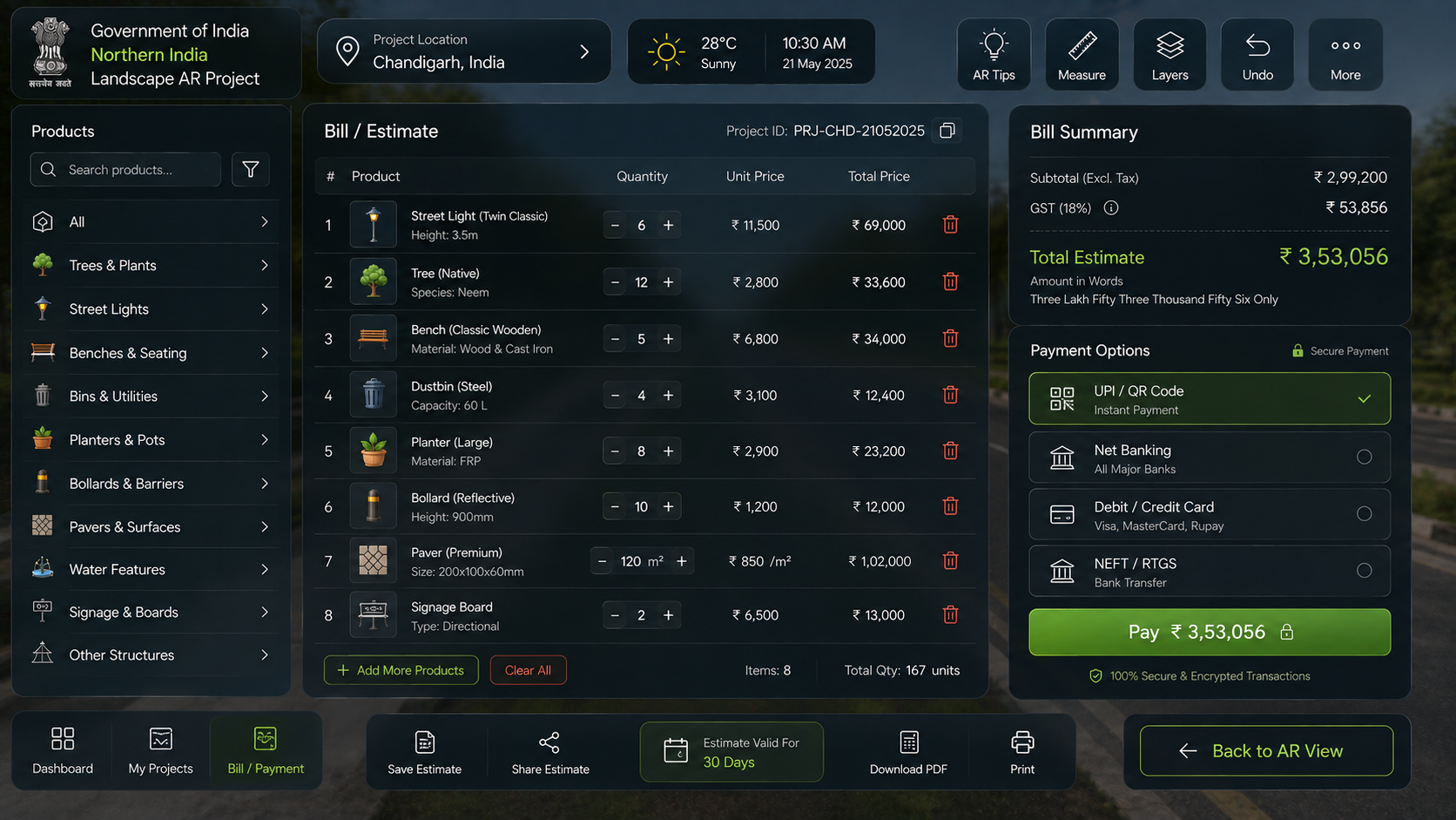
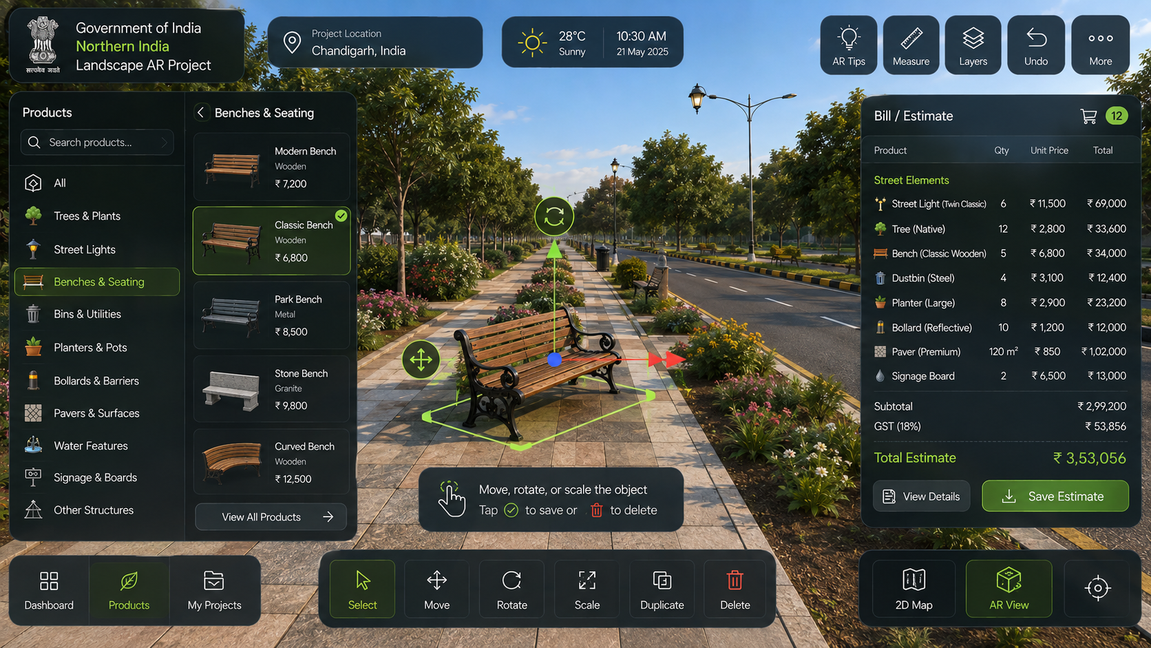
Northern India Landscape AR is a production AR platform enabling government planners, architects and project authorities to design complete landscape and infrastructure proposals directly on real-world sites using mobile AR. Authorities scan an empty location, and it becomes a spatial design canvas — they place categorised assets (trees, streetlights, benches, bollards, heritage structures, bridge elements, smart poles, ANPR cameras) with full position, rotation and scale control. The system automatically calculates a Bill of Quantities and cost estimate. An AI smart-security layer helps plan camera coverage zones, eliminating blind spots. Designs are viewable in 2D plan, 3D model and AR overlay with walkthrough capability.
Gallery
Project Photos


Add photos to public/project-photos/ar-landscape/ to display them here
Challenge
Government project authorities relied on 2D drawings and physical site visits to visualise and approve infrastructure proposals, resulting in costly post-construction changes, poor stakeholder communication and inaccurate budget estimates.
Solution
A multi-mode AR/3D platform with spatial asset placement, layer management, automated BoQ generation, cost estimation and an AI security coverage planner — giving authorities a complete digital proposal tool before a single rupee is spent on construction.
Features
Outcome
Production-deployed across multiple government infrastructure projects. Authorities can present photorealistic AR proposals on-site, generate instant BoQ reports, and plan smart-city security infrastructure — reducing planning cycles and post-construction revision costs significantly.
Technology Stack
Have a similar project?
Tell us what you're building and we'll come back with an honest assessment.
Start a conversation